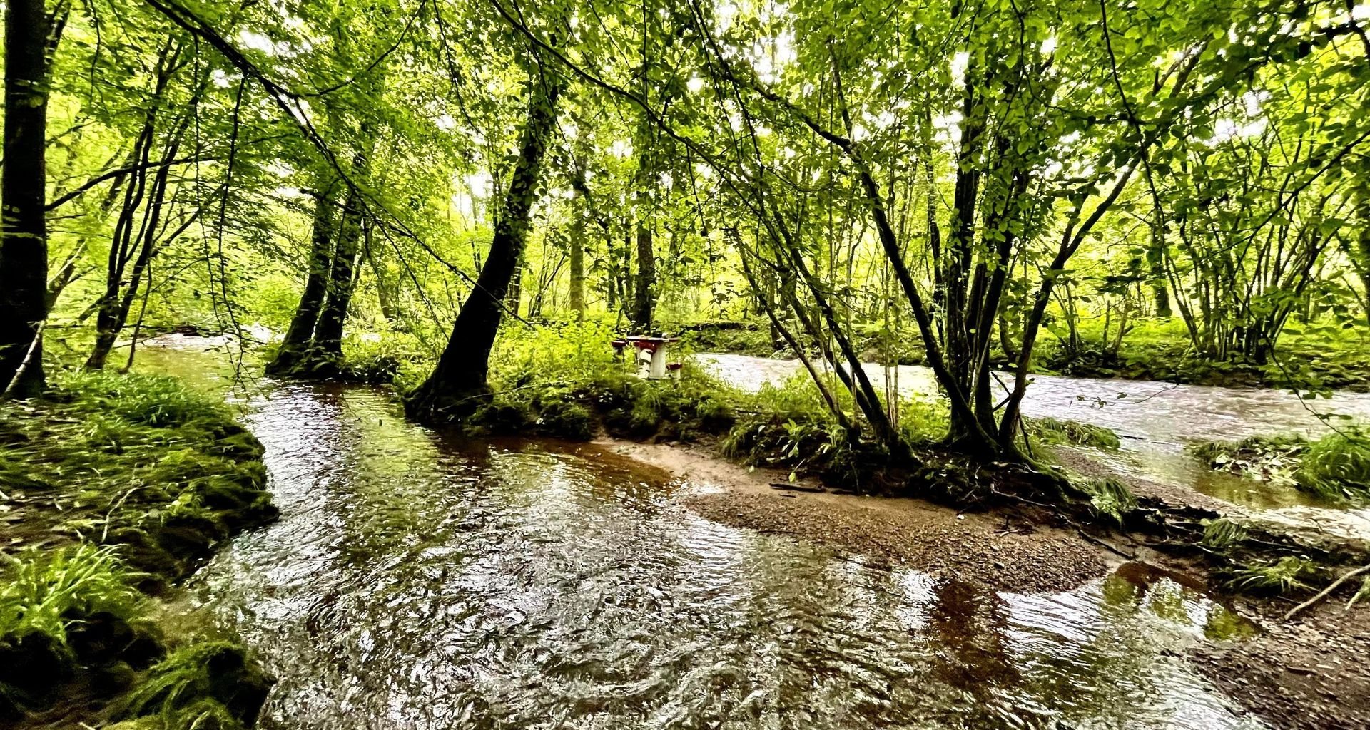
Just a stone's throw from the centre of Couvin, venture into the heart of the authentic Ardennes. Follow the course of the river Eau Noire as its pure water flows through a deep valley, hidden beneath a thick forest canopy. Here, the National Park is working to label the first Site Rivières Sauvages (a label for wild rivers) in Wallonia.
YOUR STARTING POINT
Foulerie and the Couvin Tourist Office
Head to the southern part of Couvin to a place known as Foulerie. In the car park of the sports ground, in front of the swimming pool, there is an information board with details of some beautiful walks. Take the small blue bridge at the end of the car park to enter the forest.
Starting point: Swimming pool car park, rue de la Foulerie, 5660 Couvin.
Reception point (800 m away) : Couvin Tourist Office, rue de la Falaise 3, 5660 Couvin.
ACCESSIBILITY
Train: Couvin station 1,5 km away – Bus : TEC59/1&2, TEC60/3. Stop: Cité Donnay (Foulerie) ; Grand Pont (Tourist Office).
YOUR ACTIVITIES
WALKS
Walk to Fonds de l'Eau
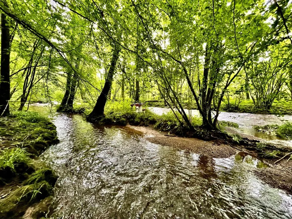
In the car park in front of the swimming pool, an information board informs you about the walks starting from the small blue footbridge that crosses the river Eau Noire behind the building. Follow the blue route (Promenade des Trois Vallées: 6.7 or 7.6 km) or the red route (Promenade de l'Eau Noire: 5.6 km) to explore Fonds de l'Eau between Couvin and Pesche.


OUR PROJECT
The river Eau Noire, Belgium's first Site Rivières Sauvages
Downstream from Couvin, the river Eau Noire is exceptionally well preserved in its natural state. Its course has never been altered, and its banks are largely spared from agricultural pollution. With its partner Contrat de rivière Haute-Meuse, the National Park is working on having the river Eau Noire officially recognized as a Site Rivières Sauvages. This demanding and prestigious certification has never been awarded to a Belgian watercourse.
By 2041, we will be able to drink water from the rivers.

DID YOU KNOW?
River Eau Noire, river Eau Blanche
The river Eau Noire (literally translated as 'black water') owes its name to the dark rock that lines its bed: schist, typical of the Ardennes. This offers a striking contrast to its cousin, the river Eau Blanche(literally translated as 'white water'), which flows through the Calestienne, where the calcareous substrate gives the water a whitish appearance.
LIFE & HABITATS
You may encounter
-
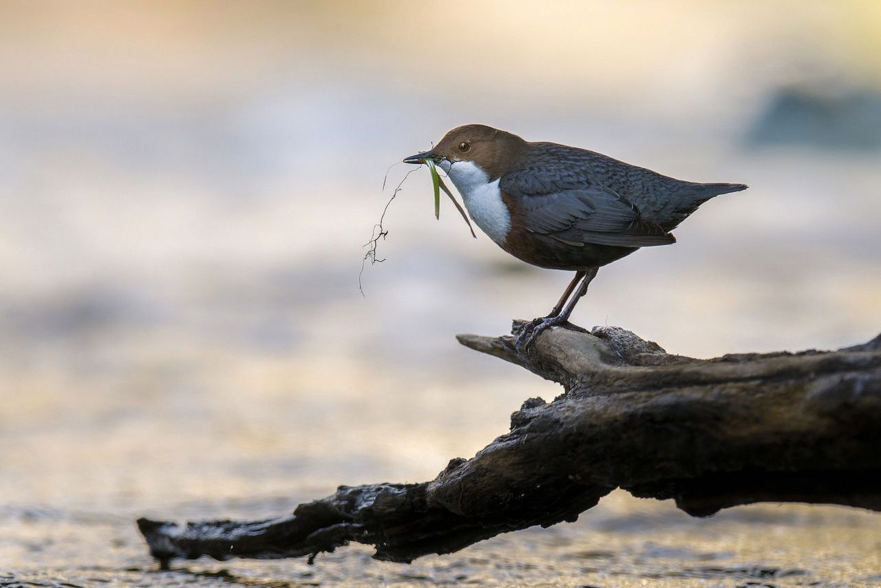
The white-throated dipper ©L. Malbrecq -
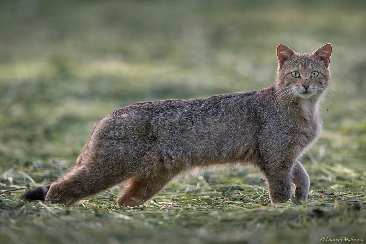
The European wildcat ©L.Malbrecq -
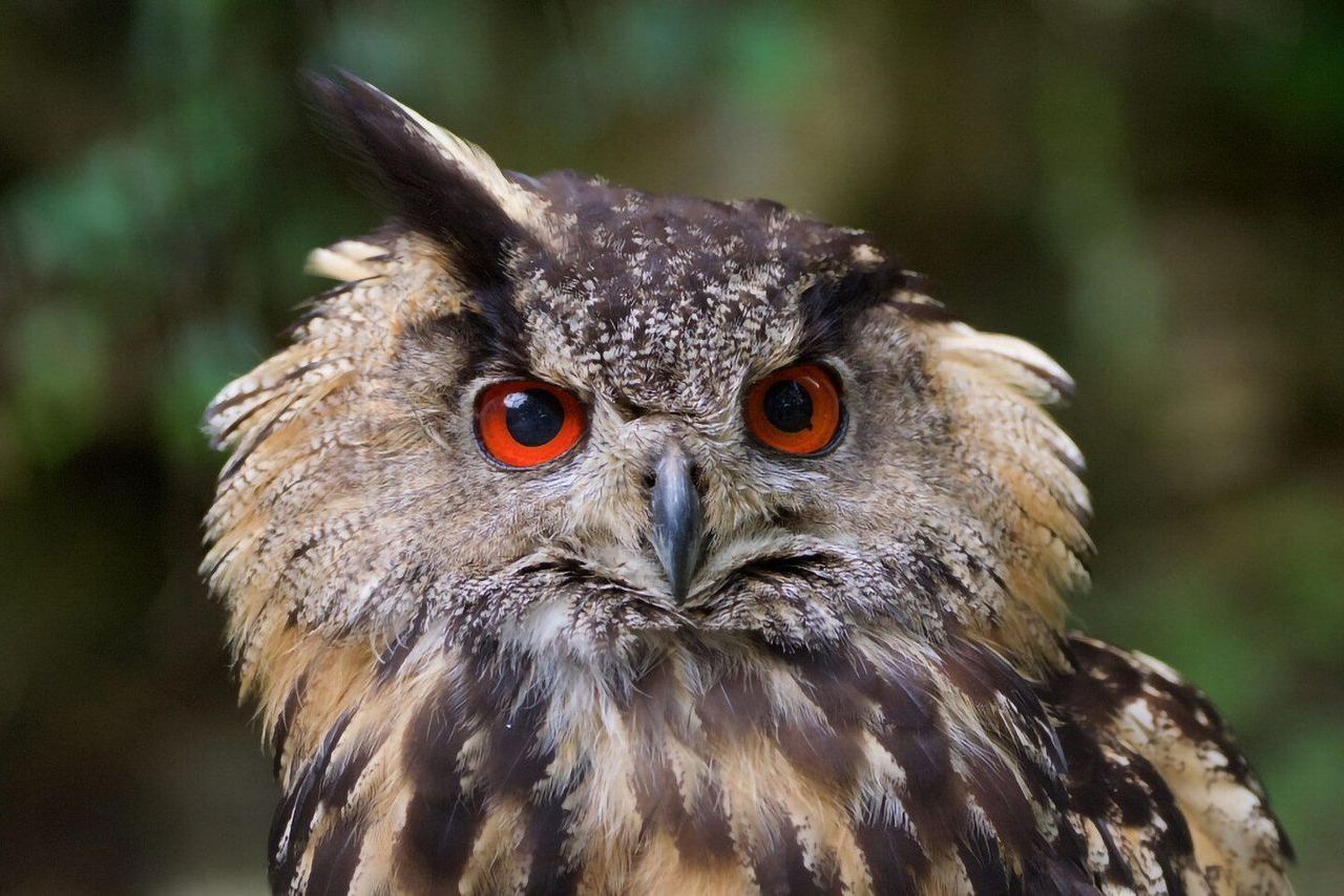
The eagle-owl ©J. Delacre -
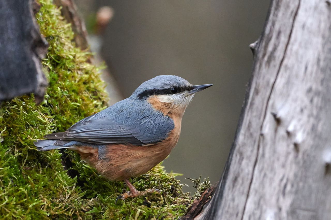
The wood nuthatch ©J. Delacre -
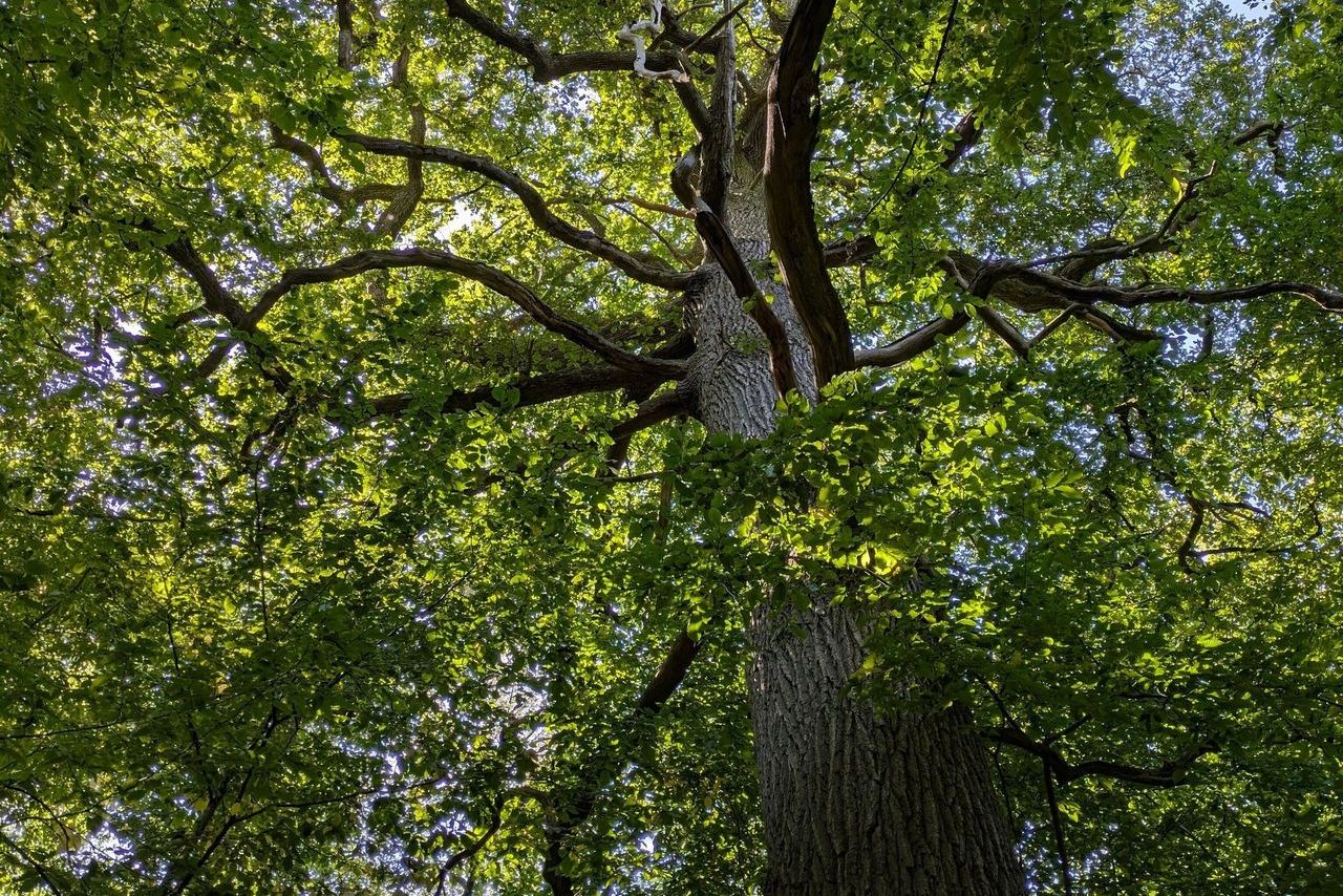
The sessile oak -
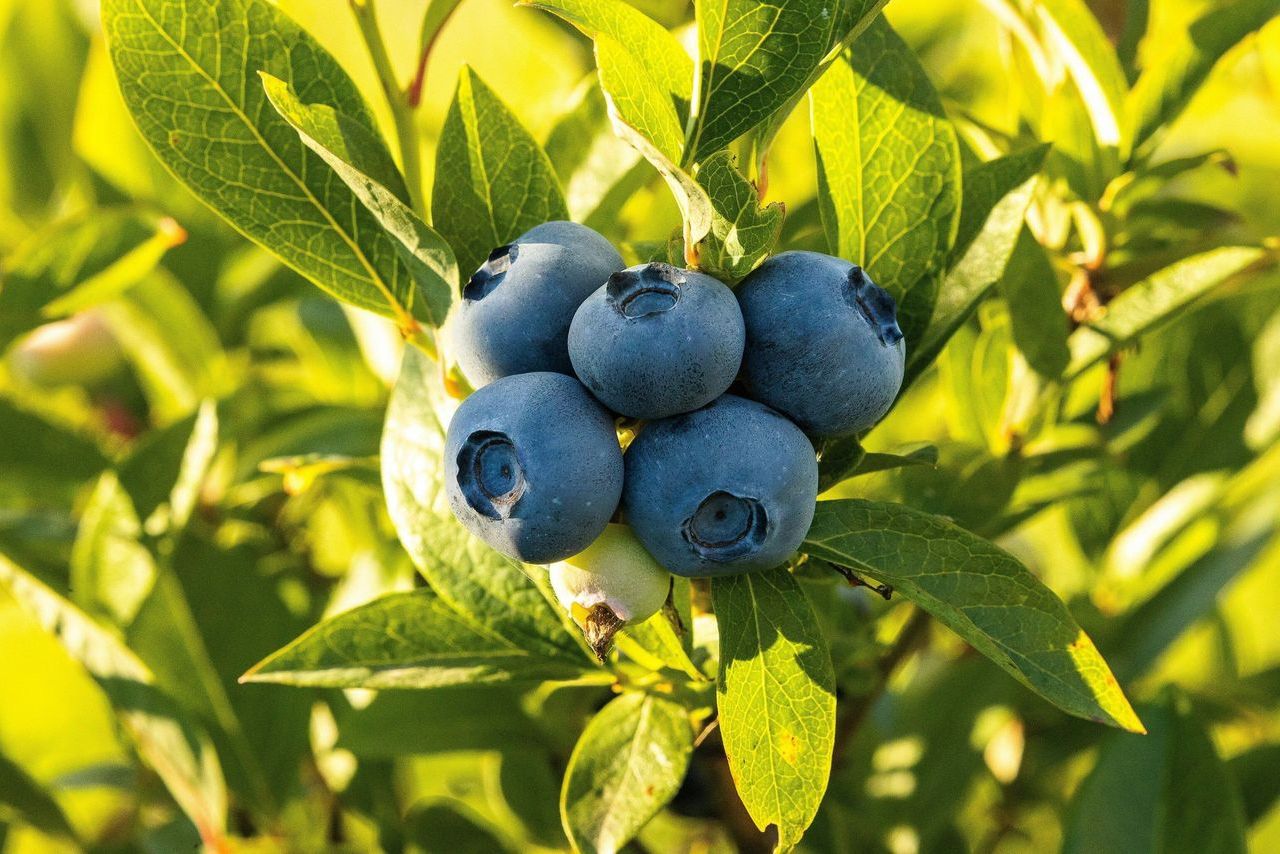
The blueberry


Nearby
Ry de Rome (5 km)
This drinking water reservoir is surrounded by a 5 km walking trail in the heart of the Ardennes massif. You will be amazed by the majestic beauty of the site and its biodiversity: great crested grebe, kingfisher, black woodpecker, roe deer... The site is accessible on foot from your starting point via the Butte route (green markings).

Old Couvin (600 m)
Once enclosed by walls, the town still bears remarkable traces of its fortified past. The cliff, which served as a lookout and for protection, was crowned with a castle in the Middle Ages. Today, it is home to a pair of eagle-owls and offers a magnificent view of Couvin and its surrounding forest.

The Tourist Office (800 m)
In addition to welcoming and providing information to visitors, the Couvin Tourist Office ensures the high quality of the marked walking trails to make your walks an enjoyable experience. At this office, you will find our brochures, hiking maps, a shop selling local crafts and products, as well as the Bienvenue Vélo services.


